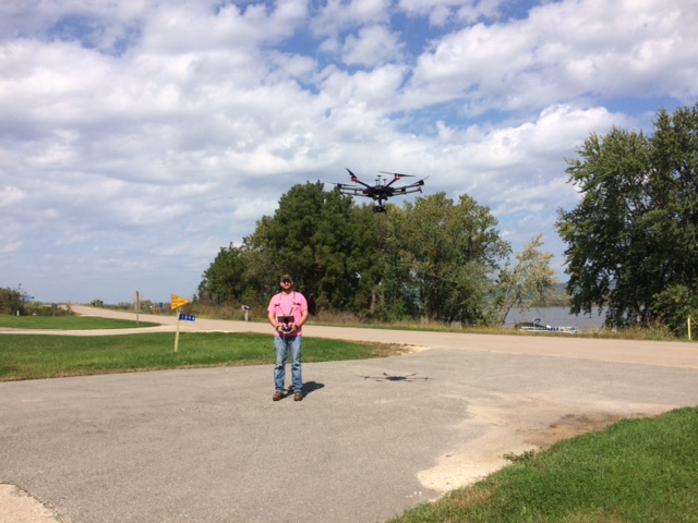
Mohn Surveying is licensed to operate a UAS (Unmanned Aerial System) or what is commonly called a drone.
Jacob Mohn, of Mohn Surveying, Inc., is a licensed UAS Pilot with 3 years of experience in UAS Photogrammetry. A DJI Matrice 600 Pro armed with a Sony A7 camera is used for field data collection. In the office, PixElement is used for data processing, and Carlson software along with IntelliCad for mapping. Our drone survey services complement our land surveying services, giving us an additional data collection tool for preparation of reports, analyses, and mapping.
Drone systems can capture high-resolution aerial photography, assist with inspections and provide data for detailed topographic maps
Some of the potential uses for our drone work include, but are not limited to:
- Topographic Mapping & Photogrammetry
- Municipal and Urban Development Projects
- Environmental, industrial & utility inspections
- Quarries & Mining Operations – material stockpile volume computations
- Surveying and mapping in dangerous environments and of inaccessible areas
- Route Surveys


