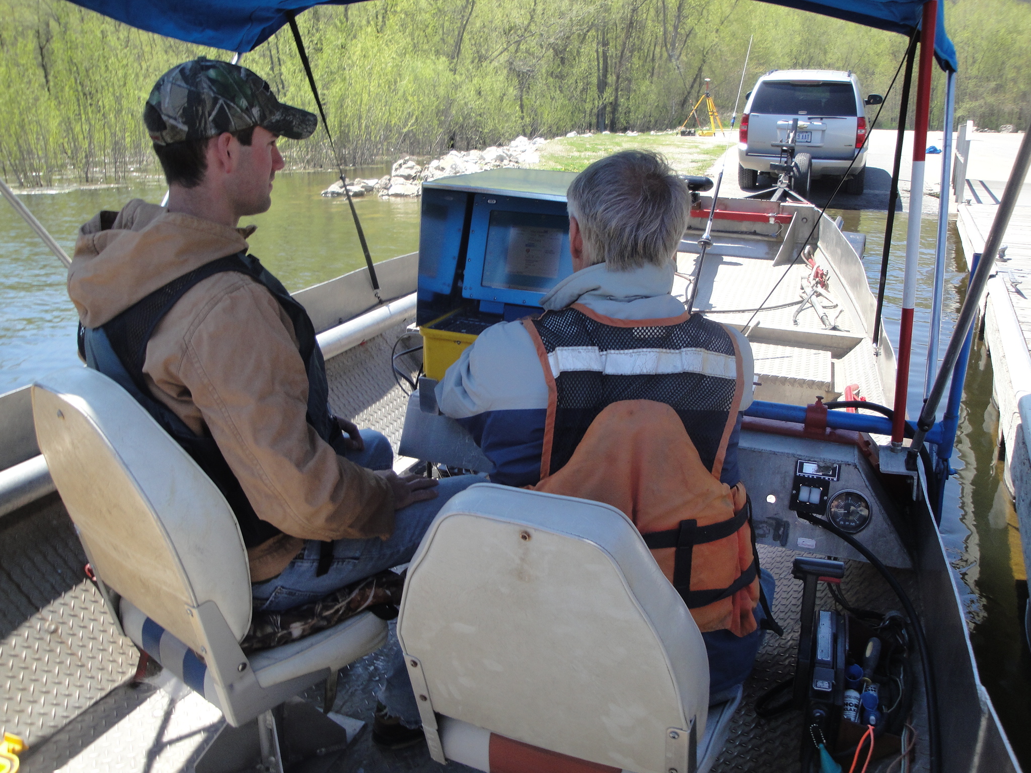
Mohn Surveying, Inc, has been conducting hydrographic surveys throughout the United States of America, especially in Iowa, Wisconsin, Minnesota, Illinois, Indiana and Missouri since 1975. Shallow water hydrographic surveying is our specialty.
Services include:
Digital data collection using a fully automated bathymetric survey system utilizing Coastal Geographic’s HYPACK software
Complete mapping services with map outputs in various map formats such as Autocad.dwg and Microstation .dgn.
Typical maps are as follows:
- Topographical maps and shaded relief maps based on MSL elevation or water depth
- Cross section plots
- Engineering construction drawings
- Site Plans
Civil Engineering Services including:
- Design and Plan preparation of sediment removal, floodwall, and dock projects
- Pre and Post Dredge volume computations
Mohn Surveying, Inc. has been and is currently completing hydrographic surveys for the United States Corps of Engineer projects since 1975. These projects have been located at inland lakes in Iowa, Wisconsin, Minnesota, Illinois, Indiana, and Missouri as well as on major waterways such as the Mississippi River, the Missouri River, and the Ohio River, and Lake Michigan.


